p.1695
p.1701
p.1705
p.1709
p.1714
p.1723
p.1728
p.1733
p.1736
The Study of the Topography-Measure Applied in China's Southwest Precipitous Areas a Case Study in YunDian Village HuiLi County in LiangShan Autonomous Prefecture

Abstract:
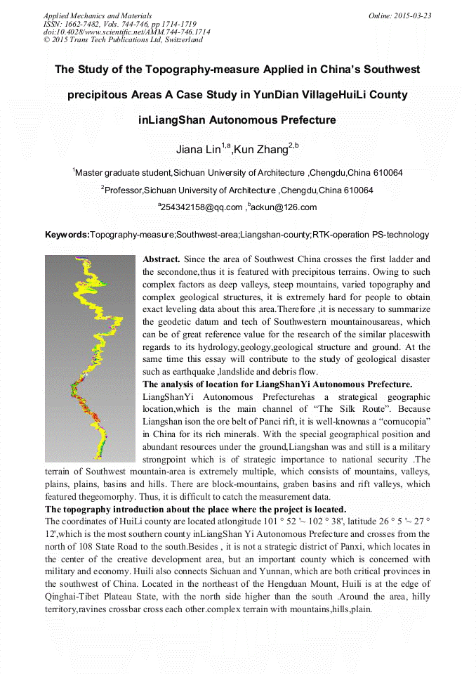
Since the area of Southwest China crosses the first ladder and the second one ,thus it is featured with precipitous terrains. Owing to such complex factors as deep valleys, steep mountains, varied topography and complex geological structures, it is extremely hard for people to obtain exact leveling data about this area. Therefore ,it is necessary to summarize the geodetic datum and tech of Southwestern mountainous areas, which can be of great reference value for the research of the similar places with regards to its hydrology, geology, geological structure and ground. At the same time this essay will contribute to the study of geological disaster such as earthquake ,landslide and debris flow.
Info:
Periodical:
Pages:
1714-1719
Citation:
Online since:
March 2015
Price:
Сopyright:
© 2015 Trans Tech Publications Ltd. All Rights Reserved
Share:
Citation: