p.1191
p.1195
p.1201
p.1207
p.1213
p.1219
p.1225
p.1233
p.1241
New Method for Surveying and Mapping Architectural Plane In-House with Laser Reticule Images

Abstract:
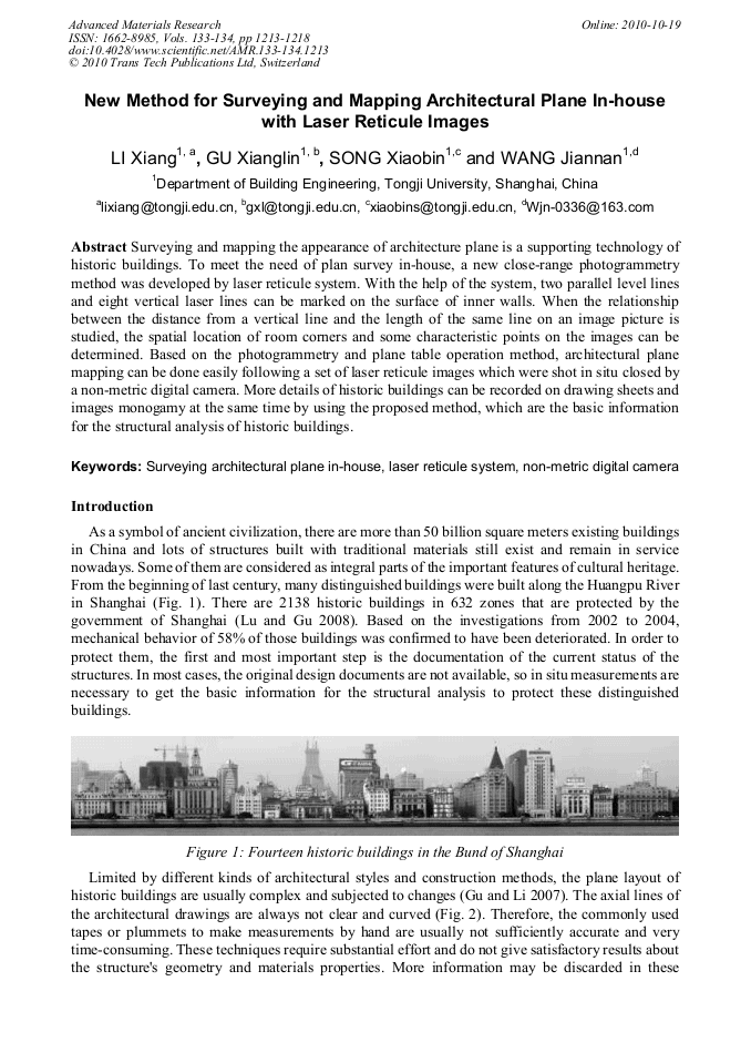
Surveying and mapping the appearance of architecture plane is a supporting technology of historic buildings. To meet the need of plan survey in-house, a new close-range photogrammetry method was developed by laser reticule system. With the help of the system, two parallel level lines and eight vertical laser lines can be marked on the surface of inner walls. When the relationship between the distance from a vertical line and the length of the same line on an image picture is studied, the spatial location of room corners and some characteristic points on the images can be determined. Based on the photogrammetry and plane table operation method, architectural plane mapping can be done easily following a set of laser reticule images which were shot in situ closed by a non-metric digital camera. More details of historic buildings can be recorded on drawing sheets and images monogamy at the same time by using the proposed method, which are the basic information for the structural analysis of historic buildings.
Info:
Periodical:
Pages:
1213-1218
Citation:
Online since:
October 2010
Authors:
Price:
Сopyright:
© 2010 Trans Tech Publications Ltd. All Rights Reserved
Share:
Citation: