p.193
p.202
p.206
p.211
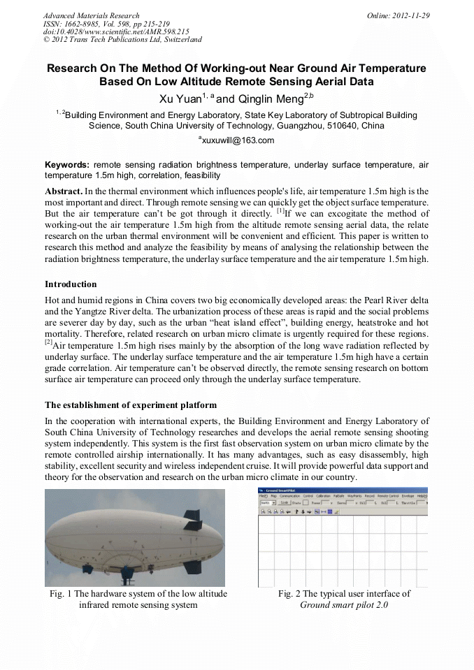
p.215
p.220
p.224
p.229
p.233
Research on the Method of Working-Out near Ground Air Temperature Based on Low Altitude Remote Sensing Aerial Data

Abstract:
In the thermal environment which influences people's life, air temperature 1.5m high is the most important and direct. Through remote sensing we can quickly get the object surface temperature. But the air temperature can’t be got through it directly. [1]If we can excogitate the method of working-out the air temperature 1.5m high from the altitude remote sensing aerial data, the relate research on the urban thermal environment will be convenient and efficient. This paper is written to research this method and analyze the feasibility by means of analysing the relationship between the radiation brightness temperature, the underlay surface temperature and the air temperature 1.5m high.
Info:
Periodical:
Pages:
215-219
DOI:
Citation:
Online since:
November 2012
Authors:
Price:
Сopyright:
© 2012 Trans Tech Publications Ltd. All Rights Reserved
Share:
Citation: